Tanya Dodgen
t.dodgen@hdr.qut.edu.au
PhD
Queensland University of Technology, School of Earth and Atmospheric Sciences
Tanya Dodgen
t.dodgen@hdr.qut.edu.au
PhD
Queensland University of Technology, School of Earth and Atmospheric Sciences
PhD
Tanya completed undergraduate studies at the University of Washington in Biology and International Studies. During this time she undertook a NOAA internship in coral reef restoration, which motivated her to travel overseas to warmer pastures after living in the cold, rainy climate of Seattle. She moved to Brisbane, Australia and spent several years working in science and sustainability education. This included working in learning design at the University of Queensland, facilitating student programs across several countries in Southeast Asia, and working for the Queensland Chamber of Commerce to help businesses improve their management of energy, water, and waste. All the while Tanya volunteered for various marine science and conservation initiatives. She eventually decided make a career change, coming back to marine science and restoration by starting a PhD in the Reef Restoration and Adaptation Program. She is currently working towards completing here doctorate, which focuses on the ecology of reef rubble within the Great Barrier Reef Marine Park.
PhD
2021 to 2025
Project Description
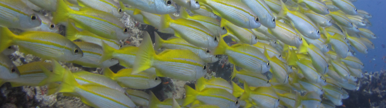
Coral rubble plays an important role in reef ecology (Wolfe et al., 2021) and in the cycles of erosion and accretion of coral reefs (Rasser & Riegl, 2002). Mobile rubble created by disturbance events can prevent reefs from recovering, such that stabilising rubble becomes an important intervention option for restoring damaged reefs (Fox & Caldwell, 2006). Future rubble-generating disturbances, such as cyclones and mass bleaching, are predicted to affect areas much larger than single reefs (Cheal et al., 2017; Hughes et al., 2017). Remote sensing approaches are beginning to create an understanding of rubble cover at these larger scales (Lyons et al., 2020), but these data have not yet been interrogated in order to understand rubble at whole of reef system scale (e.g. whole of GBR). In locations where reefs are regularly monitored rubble generation can be directly observed following known disturbance events such as ship groundings, dynamite fishing, or cyclones. However, monitoring of the rubble itself is uncommon compared to monitoring of changes in coral cover (Ceccarelli, McLeod, et al., 2020). Where rubble beds are known, details of the rubble substrate (e.g. size, frequency of movement, main biological colonising organising) are rarely reported. The few studies that do describe rubble state are dispersed in space and time, and focused on specific local conditions (e.g. Fox et al., 2019; Hughes, 1999; Perry, 2001; Shannon et al., 2013; Thornborough, 2012). There is a lack of understanding around which factors are most important in driving reef-recovery post disturbance, and no commonly applied sampling methodology for rubble beds. Despite these knowledge gaps both at larger and at local scales, local managers nonetheless implement rubble stabilisation as a restoration intervention in locations where an acute disturbance is well-documented, as is the case with ship groundings (Boström-Einarsson et al., 2020). While specific outcomes (e.g. changes in coral recruitment, coral cover, or fish abundance) are sometimes monitored following restoration, the effects of these interventions on the ecology of the rubble itself are rarely studied.
The proposed PhD program will undertake the following research to address aspects of these knowledge gaps in the context of the Great Barrier Reef (GBR):
1) Assess the distribution and frequency rubble within the GBR marine park, using satellite-derived data.
2) Use a long-term photo dataset to assess temporal changes in rubble on a well-studied reef (Heron Reef, Capricorn Bunker) and search for rubble characteristics that correlate with reef recovery.
3) Investigate the effects of rubble stabilisation intervention on the ecology of rubble-binding organisms
Project Importance
Rubble is an understudied environment in within coral reefs, but it plays a key role in reef recovery following disturbance. It is also a unique ecological niche with important qualities in its own right. This PhD program will evaluate the current state of rubble on the GBR at a broad scale, while also providing insights into rubble ecology and characteristics that are important for local-scale monitoring. This knowledge will improve the way areas of rubble are managed in the future, particularly in regards to making decisions about when and where rubble should be the target of restoration interventions, as opposed to being managed passively.
Project Methods
The PhD consists of three research chapters, each with a distinct methodology:
• Chapter 1: A spatial analysis of satellite-derived data. This chapter uses a desktop approach of literature review and ArcGIS/R software to analyse rubble within the publicly available dataset "GBRMP Benthic habitat type map”. Rubble cover will be extracted from this map and analysed against other features such as reef geomorphology and marine park management zonation, among others.
• Chapter 2: A combination of field methods and desktop/AI methods will be used in an effort to study how much rubble has been present on Heron Reef since 2002, using a publicly available image dataset (see https://doi.org/10.1038/s41597-021-00871-5). The research will investigate how image analysis, previously optimised for coral-cover, can be modified for reporting rubble cover. Field-validation will also be undertaken (photographs collected via SCUBA and snorkelling).
• Chapter 3: A field experiment performed on Moore Reef. Methods include deploying small-scale rubble stabilisation interventions and monitoring their effects on rubble ecology via SCUBA surveys and lab sampling.
Project Results
Initial investigations of this PhD program have resulted in:
-Manuscript in progress explaining how managers and ecologists can use satellite-derived regional to global scale map products to help monitor reef rubble substrates
-Ongoing collaboration with tourism operators at Moore Reef (Cairns) a proof-of-concept that experimental design can withstand cyclone impacts (Cyclone Jasper)
-Quantification of rubble cover across the Great Barrier Reef Marine Park
Keywords
Algae,
Benthic,
Bryozoans,
Climate change,
Communication / Education,
Coral reefs,
Corals,
Ecology,
Field based,
Human use,
Management tools,
Mapping,
Marine planning,
Marine worms,
Molluscs,
Monitoring,
Natural disturbance,
Porifera (sponges),
Quantitative marine science,
Remote Sensing,
Sea anemones,
Sediment dwellers,
Temporal change,
Tourism,
Tunicates (Sea squirts)